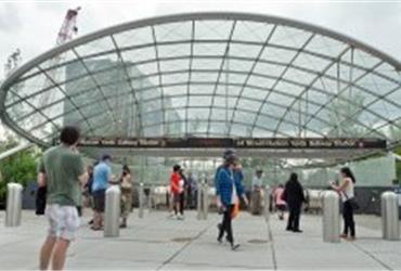
New and improved subway maps in New York City
 Business travellers’ prayers have been answered: New York now offers its visitors better neighbourhood maps in subway stations.
The new type of maps is better, for two reasons. First: they position the subway station in the center instead of near the end of a map segment. Second: the maps cover a smaller radius of about 12 blocks, rather than 15 to 30 blocks. This leaves more spaces for information about offices, restaurants and other info you may be looking for when you step out of a subway station, wondering in which direction to walk.
The new maps that The Metropolitan Transportation Authority (MTA) and the city’s Department of Transportation (DOT) have issued, have the same size as the originals. They are perceived as being more helpful. Centering the user means you can always see about 10 blocks in every direction. Instead of a black background, the below-ground versions have a lighter palette, to be read more easily under artificial light. Businesses are identified only when they are tourist attractions or big enough to serve as navigational cues for pedestrians navigating their way. Businesses can not pay to get on the map.